Samatata and the city of Kamalanka
During the heyday of Buddhism, the land that is now Bangladesh was divided into four divisions: Samatata, Pundravardhana, Karnasuvarna and Tamralipta. According to the historian Vincent Smith, Samatata included Chittagong, the Chittagong Hill Tracts, Tripura, Sylhet and large parts of the Dhaka, Faridpur and Barisal districts. Among its cities, one named Kamalanka was very prosperous; it lay in the Pattikera kingdom of the Cumilla district. A pargana named Pattikera still exists on the western side of the Lalmai-Mainamati range and keeps the memory of the Pattikera kingdom alive. History tells us that there were political, religious and matrimonial ties between the Pattikera kingdom and the royal dynasty of Burma.
Kamalanka was the capital of the Pattikera kingdom, though its exact location changed over time. The celebrated Chinese traveller Hiuen Tsang stayed in Kamalanka for three months in 635 AD and gathered a great deal of information about the Buddhist culture and traditions of the area. Two more Chinese travellers, I-Tsing and Cheng Shih, later came to learn about the Buddhism and culture of this area, and described what they found in their travel records.
Origin of the name Kamalanka
The name Kamalanka is traced to the goddess Kamala, worshipped by Mahayana Buddhists, who was said to live in the city of Kamalanka. Over the ages the name kept changing: Kamalanka in the Buddhist period, Kamala under the Portuguese, Kamila in the early British period, Kumila later on, and today Cumilla, a name that still carries the old one within it.
It is said that nearly a hundred kings reigned over the area, from the Kharga, Deva, Chandra and Pala dynasties. Because the area is so vast and its heritage so rich, a full history of the religion and culture of the Samatata kingdom would fill a large volume. Besides Buddhism, the history of Cumilla is also great and glorious for Hinduism and Jainism. Rather than a detailed account, I offer here a brief discussion of the Lalmai-Mainamati area from a Buddhist point of view.
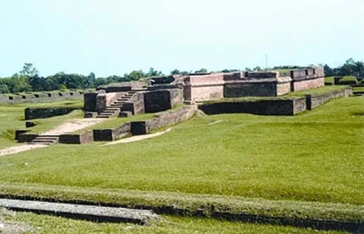
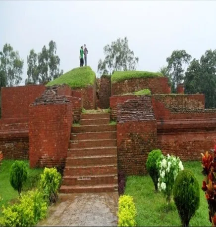
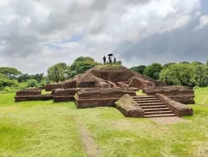
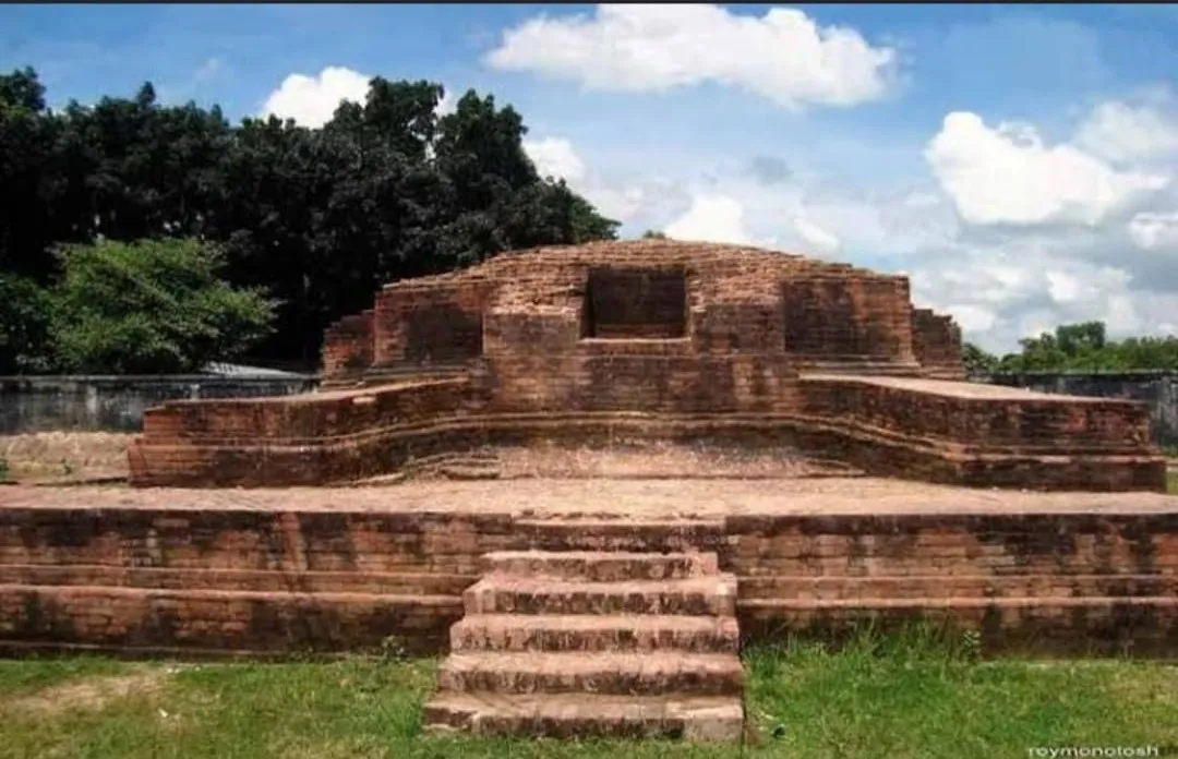
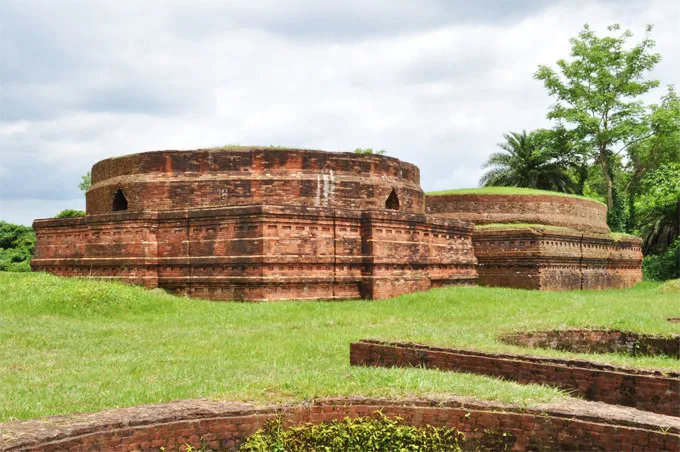
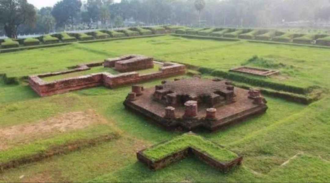
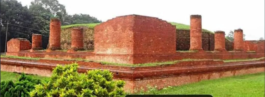
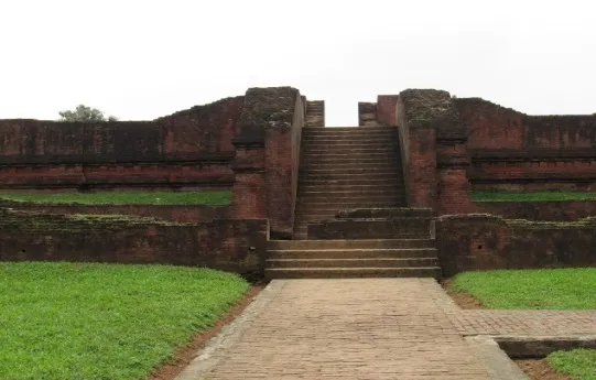
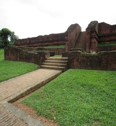
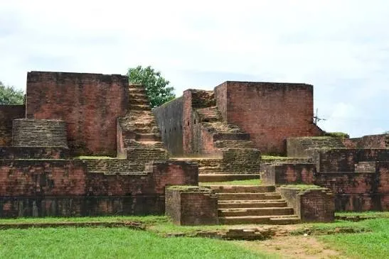
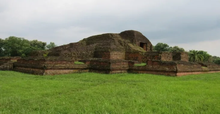
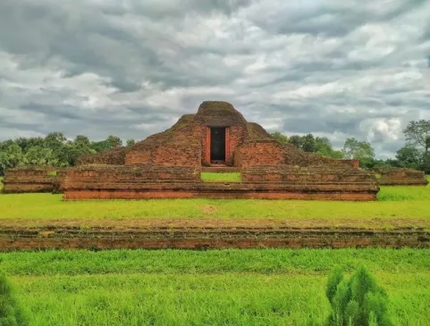
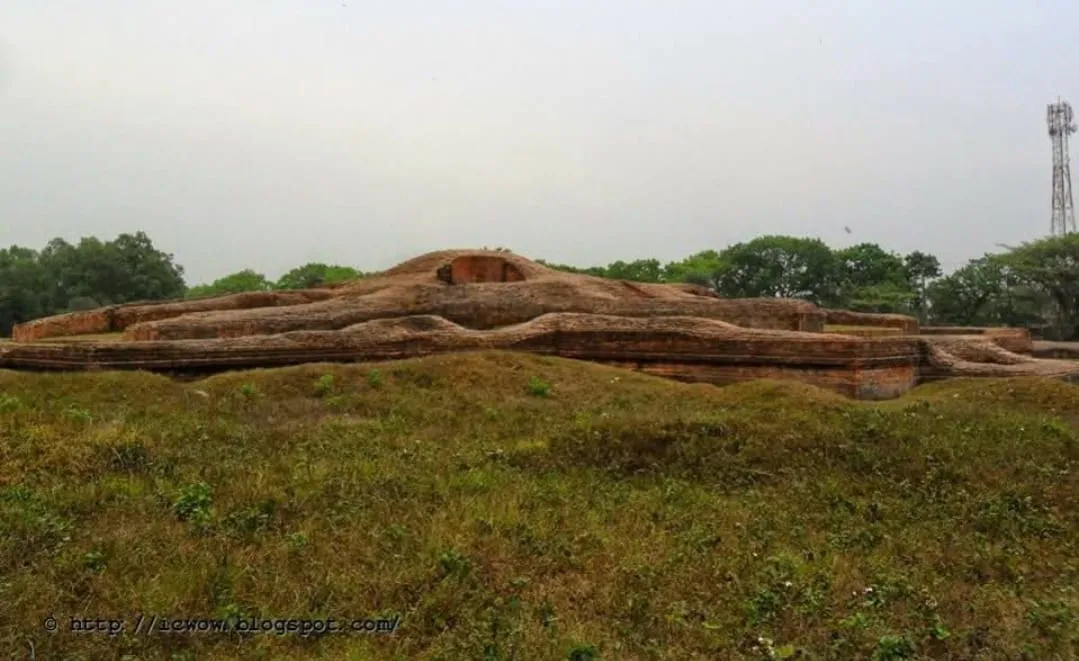
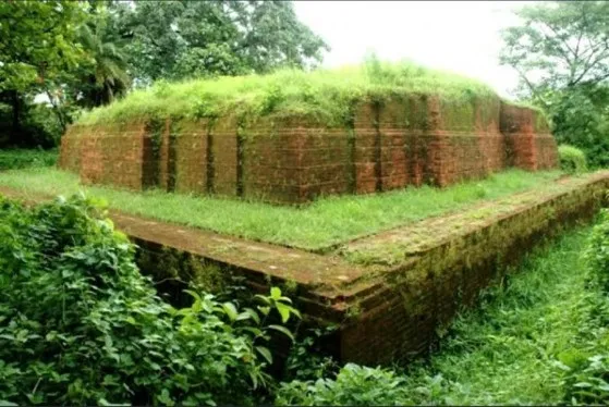
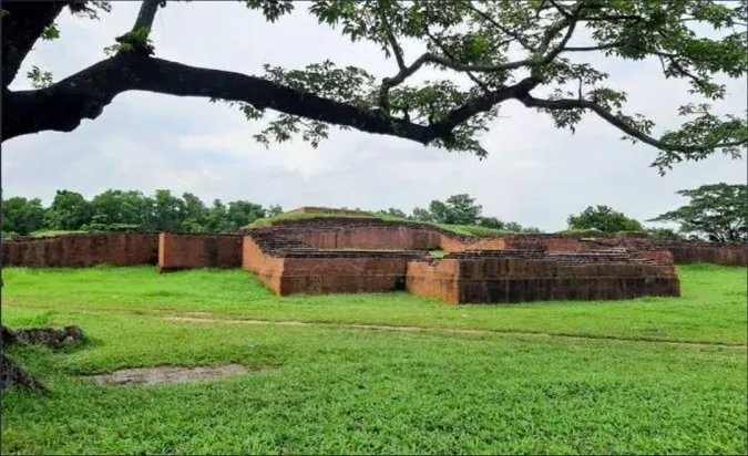
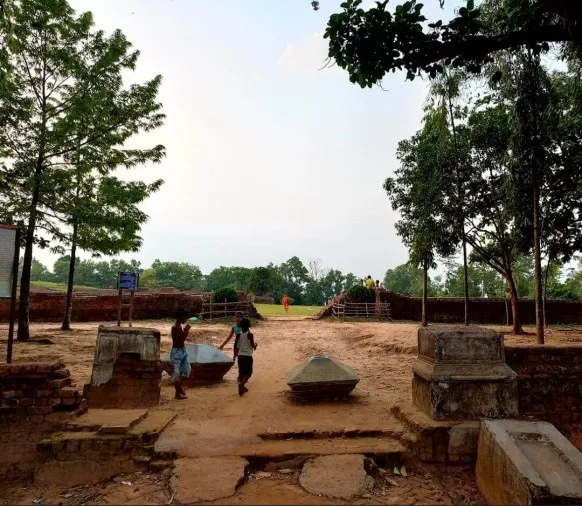
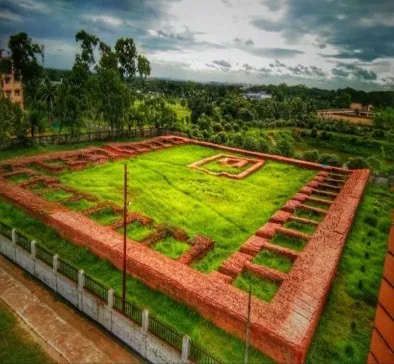
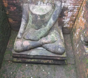
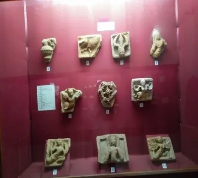
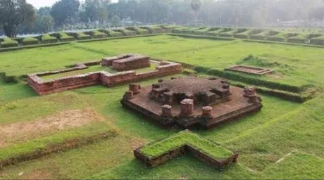
Excavation of the archaeological sites of Lalmai-Mainamati began under the government of the day in January 1955 and continues without interruption. I have no doubt that these excavations and their findings keep opening new chapters in the history of Bangladesh. The high mounds of the Lalmai-Mainamati hills lie about five miles west of Cumilla town. The scattered hillocks are part of a range that stretches from Mainamati in the north to Lalmai railway station in the south, about 11 miles long and 1.5 miles wide. Of the 20 archaeological sites selected for excavation along the range, only a few have been excavated so far, among them Salban Vihara, Itakhola Mura, Rupban Mura, Ananda Vihara, Charpatra Mura, Kutila Mura (Triratna Stupa), Bhoja Vihara and Latikot Mura. The rest are on the waiting list.
Once (I cannot recall the date or year) a team made up of Mr. Nalini Kanta Bhattasali, Principal Curator of the Dhaka Museum, the great historian Mr. Ramesh Chandra Majumdar and the renowned scholar Mr. Ras Mohan Chakrabarty surveyed all the ruins and depressions of the Lalmai-Mainamati range and prepared a list. That survey list, which I received from the respected Ras Mohan Chakrabarty, is the main source of this article. In 1955 I wrote a small treatise based on the list, published in the well-known Calcutta journal Jagajjyoti. Here I have tried to write about it in a little more detail.
Queen Mainamati and the Mainamati hillocks
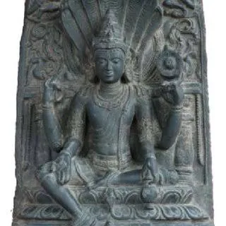
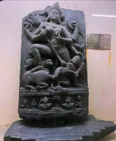
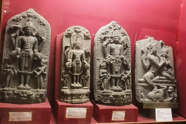
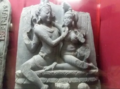
These scattered hillocks lie near Mainamati village, a little north of the junction of the Dhaka-Mainamati road. Antiquities of many religions and ages have been recovered from the debris of these mounds. Alongside antiquities of the Sramana and Brahmana traditions, a stone statue of a Jain Tirthankara was also found here, showing that Jainism was practised here too. In religious terms these hillocks are of secondary importance in the range. But because this was the capital of the kings of the Chandra dynasty from the 8th to the 11th century, the remains of palatial splendour, grandeur and order found here are especially noteworthy.
King Manik Chandra of the Chandra dynasty had a queen named Mainamati, and the hill, the region and the kingdom came to be called Mainamati after her. Queen Mainamati and her son Gopichand, or Govinda Chandra, are the legendary figures of this region, and countless episodic verses and poems were composed about them. Queen Mainamati often ran the administration of the country in the absence of King Manik Chandra. The successive acharyas of Salban Vihara, Min Nath, Goraksha Nath, Chourangi Nath and Jalandhari Pada (Haripa Siddha), were royal priests of the Chandra dynasty. This account draws on copper-plate inscriptions found in various places, local tradition, antiquities recovered from the ancient ruins, and publications of the Department of Archaeology and on the ancient history of Cumilla.
The Blue Lotus
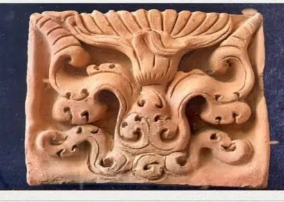
During the 50th anniversary of the United Nations, the then Prime Minister of Bangladesh presented a replica of the Blue Lotus terracotta from Salban Vihara. Secretary-General Kofi Annan responded: “During the 7th to 8th centuries, when the light of wisdom was shining in the monasteries of Bengal, Europe was in the dark.” This shows how glorious the culture and civilisation of Cumilla were in the past.
From the Academy's profile